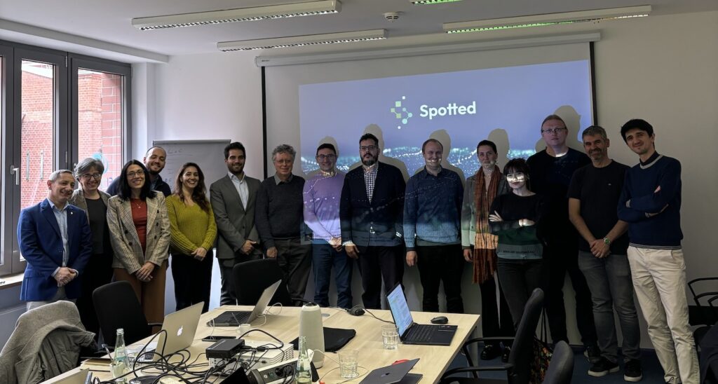
On 16 and 17 April 2024, the SPOTTED consortium met in the FIWARE Foundation office in Berlin, Germany, for its 6th Project Meeting. The next two days included presentations and discussions regarding project requirements and pilot preparations, technical development and deployment, project management, and communication. In addition, the consortium participated in a hands-on workshop on exploitation and dissemination led by FIWARE.
Pilot Cities and Technical Updates
The pilot cities presented their latest developments. In Milan (Italy), three digital services and platform releases were tested, with one platform now functional: Digital service – Urban Green Index. In Helsinki (Finland), there have been several collaborations with other EU projects since the last General Assembly, including Space4Cities and Regions4Climate, as well as urban green projects. In addition, the team provided a demonstration of the platform in Helsinki, including elements such as display plot, NDVI, green areas, Tree Registry, Population Grid, Subdistricts with NDVI, and HSY land cover. Lastly, the team from Naples (Italy) addressed topics such as green capital issues, planned activities in Naples and in connection to SPOTTED, the testing of the services, data sharing, and parallel projects on open data.
Engineering, PlanetGis SKY, and LATITUDO 40 then continued to cover the technical developments that have taken place over the past months. In addition to framework design and integration and the development and deployment of city services, noteworthy updates to the SPOTTED Platform, including a new functionality on historical data and comparison, as well as the topic of datasets, were discussed. Lastly, a run-through of the SPOTTED Platform was presented.
Hands-on Workshop and Business Model Canvas
The meeting also included a hands-on workshop with all present consortium members. During the workshop, the team discussed the project in the sense of what went well (eg. use of standards, open data integration, collaborative working environment) and what can be improved (eg. a clearer timeline, more engagement and communication). In addition, action items for the future were identified, such as a comprehensive analysis of the data used, more publications, and more collaborations with other (EU) projects. A Business Model Canvas was also created to map out several key topics that will help us to identify further requirements to achieve the project objectives:
- Key partners (eg. national and European space agencies, satellite imagine providers, and other ongoing/future projects)
- Value proposition (eg. near-real-time data visualization, improvement in city planning, data-driven decision-making)
- Key resources
- Key activities (eg. contacting stakeholders, evaluation, assessment, and assisting with adoption)
- Cost structure
- Customer relationships (eg. target-oriented workshops, demos during fairs, monthly newsletter)
- Customer segments (eg. cities, citizens, regional authorities)
- Communication channels (eg. workshops and demos, webinars, social media)
- Revenue streams
Past and Upcoming Events
In addition to reviewing the events attended over the past few months, including the Smart City Expo World Congress in Barcelona (Spain) and the Data Spaces Symposium in Darmstadtium (Germany), the team also shifted its focus to what is to come.
On 11 June, the project will host a webinar to showcase how different projects are working on open (big) data, particularly HVDs, and the correlation among them. The webinar will be a collaboration between SPOTTED, as a front-runner in the exploitation of open data and satellite data, BeOpen, which will address how to improve the datasets, TEMA, which will describe how to use the improved datasets for training algorithms, providing AI services, and other successful projects on the deployment of open data. Stay tuned for more updates and opportunities.


